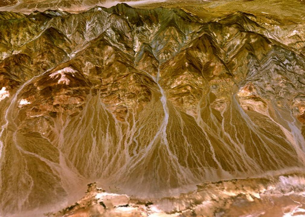
this map shows the terrain of a mountain. This was taken from NASA's World Wind program. The picture was meant to show how the program works and demonstrate the different types of systems there are for mapping, and remote sensing and global visualization systems there are currently available. The World Wind tool is one of the technological advances that are truly significant because of the accuracy it portrays making mapping more accurate, and extremely useful for terrain construction. This map can be useful for geographers, climatologists, researchers, and historians because it shows the land in great detail, portraying paths within the mountainside.
No comments:
Post a Comment